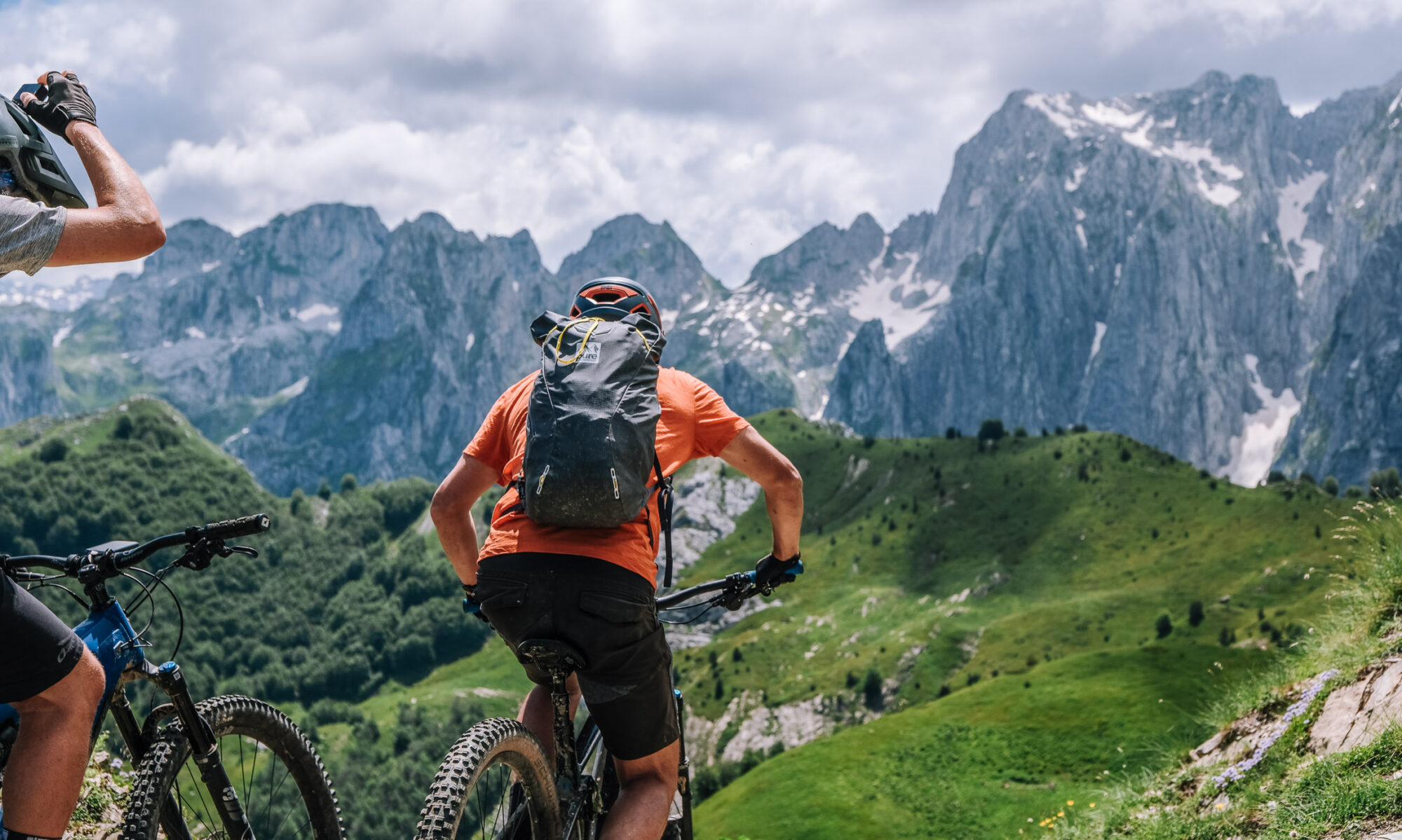
Day 1 – Arrival in Peja
Arrive in Peja. Depending on when you land, take the NOX e-bikes out on the local trails for a first ride. Horomoçat is the usual choice: about two hours, mostly singletrack, narrow and tree-covered with a few technical sections — enough to get used to the bike and how the assistance behaves before the mountains start. Take care around walkers; these are shared trails.
If there is time, a short cultural visit or a via ferrata can be added to the day.
Overnight: Peja
Day 2 — Peja to Plav
45.5 km · 1,865 m ascent · high point 2,194 m · 3 h 44 moving
The bikes go in the van for the hour’s drive to Bjeshka e Belegut, above Deçan. From there you pedal, climbing a gravel trail through the high pines of the Deçan mountains and up onto Bjeshka e Belegut itself, past a small summer village that was pasture land and is now scattered with weekend houses.
The route crosses into Montenegro and runs on across crests and meadows to Hrid Lake, which is the kind of place people stop longer than they meant to. The day ends in Plav at Guesthouse Hana, which has a bike-washing station and an e-bike charging point.
The longest day of the trip and the second-biggest climb — taken, sensibly, on fresh legs.
Overnight: Guesthouse Hana, Plav GPS and elevation page
Day 3 — Visitor Peak
40.5 km · 1,804 m ascent · high point 2,196 m · 3 h 40 moving
Out of Plav towards Visitor Peak and Visitor Lake. It starts as a gravel road through thick forest, which keeps the sun off, then turns wilder — singletrack across open fields of flowers. From there you can ride or walk to the top of Visitor Peak.
This is off the internationally known trails and you will see very few other people. In August the fields are full of blueberries; earlier in the season it is wildflowers and deep vegetation, which in places grows across the trail — cover your feet.
Back to Guesthouse Hana for a second night.
Overnight: Guesthouse Hana, Plav GPS and elevation page
Day 4 — Into Albania and back
31.3 km · 1,386 m ascent · high point 2,005 m · 3 h 06 moving
A gravel road out of Plav that winds up through good scenery, with the town and the mountains opening up behind you. In June and July there are wild strawberries along the way, which is a better energy gel than an energy gel.
The gravel runs to the highest pasture village in the region, and then you cross into Albania. Along the ridge from there you can see Taljanka Peak — you will be on it tomorrow. The riding turns to singletrack through wild peaks with rocky sections that some riders will walk. The day finishes with a fast gravel descent through villages and a meat feast at Guesthouse Vuçetaj in Vuthaj.
Overnight: Guesthouse Vuçetaj, Vuthaj / Vusanje GPS and elevation page
Day 5 — Gerbaja and the Cold War border post
39.9 km · 1,482 m ascent · high point 1,875 m · 3 h 09 moving
Asphalt from Vuçetaj to Gusinje and on to Gerbaja village, then a gravel road the military built, climbing to a border post that dates from the Cold War. The trail shifts from forest to open rock as you gain height.
From the post it is singletrack with Taljanka in view the whole way, up to Taljanka Pass and on to Can Peak. The return is either back down the same trail or, for strong riders who want it, a highly technical line along the hiking path. Then back to Guesthouse Hana in Plav.
Overnight: Guesthouse Hana, Plav GPS and elevation page
Day 6 — Back into Kosovo, and the highest point of the trip
29.8 km · 1,675 m ascent · high point 2,238 m · 3 h 08 moving
A car transfer to the Albanian border, then a gravel 4×4 road the army once used. You climb out of the trees into open terrain and pick up singletrack running along the western face of the mountain that divides Kosovo from Montenegro, and then Kosovo from Albania.
Almost the whole day is singletrack on an open mountain face, with the surrounding peaks laid out around you. The trail passes close to the Tripoint, where three countries meet, and looks down on Doberdol village on the Peaks of the Balkans trail. It ends at Gaçaferri Guesthouse — family-run, known for its food and for well water cold enough to hurt.
The shortest day by distance and the highest point of the entire traverse. Most riders remember this one.
Overnight: Gacaferri Guesthouse GPS and elevation page
Day 7 — Koshare
42.8 km · 1,365 m ascent · high point 2,186 m · 3 h 34 moving
Southwest from Gaçaferri, running parallel to the Albanian border. A wider trail to begin with, then singletrack through mixed forest and high open mountain, heading for Koshare. Along the way the mountains drop away into the Dukagjini Valley, and Gjeravica — the highest peak in Kosovo — stands out to the east.
The day reaches the former Koshare border post, held by the Serbian Army until Kosovo Liberation Army forces took it in 1999, and later struck by NATO in what has been described as a friendly-fire incident. You can walk through the bombed barracks and visit the memorial to those who died there.
Then a long descent on asphalt, roast chicken at one of the village restaurants, and the drive back to Peja. GPS and elevation page
Overnight: Peja
Day 8 — Free day, Prishtina or Peja
Depending on flight times, a visit to Prishtina or more time in the Peja region.
The six riding days in total
| Distance | 229.9 km |
| Ascent | 9,578 m |
| Descent | 10,607 m |
| Highest point | 2,238 m |
| Moving time | 20 h 20 |
| Total time on trail | 40.8 h |
Recorded across 137,764 GPS points on six consecutive days, 15–20 June 2026.