Stage 6 · Gacaferi → Koshare → Peja (Day 7)
42.8 km · +1,365 m · high point 2,186 m · 3 h 34 moving
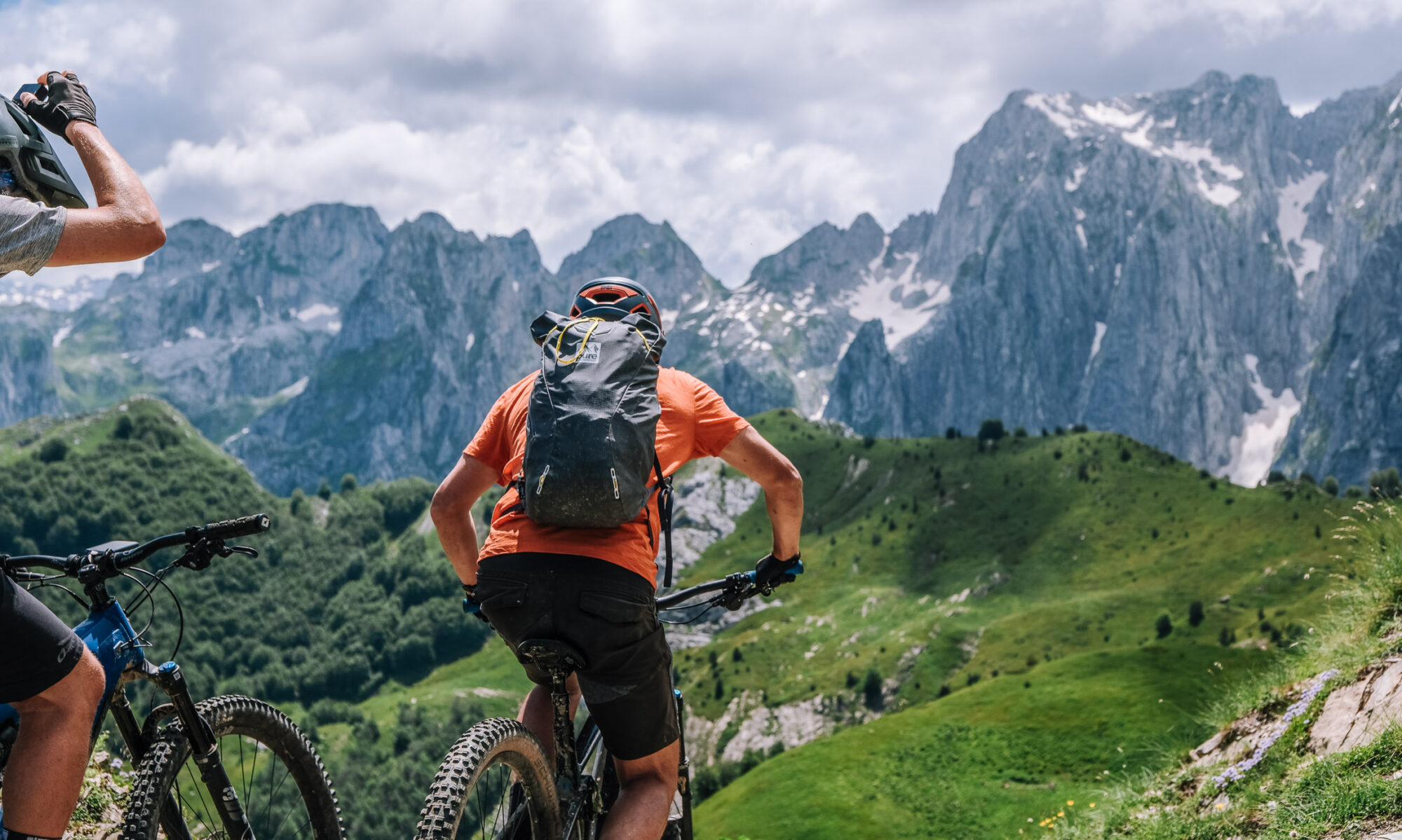
Head southwest from Gacaferi, running parallel to the Albanian border. A wider trail to begin with, then singletrack through mixed forest and open high mountain, heading for Koshare. Along the way the mountains drop away into the Dukagjini Valley, and Gjeravica — the highest peak in Kosovo, 2,656 m — stands out to the east. The riding ends at the former Koshare border post. From there a long asphalt descent, lunch in one of the village restaurants, and the drive back to Peja.
Surface: wide track, then singletrack through forest and open mountain, finishing on asphalt. (Exact split from the track file.)
Border: the whole stage runs parallel to the Albanian border — permit and passport with you.
Charging: charge fully at Gacaferi the night before. Nothing on the route until you are back down in the villages.
Water & food: no resupply on the ridge; village restaurants at the bottom of the descent.
Note: the longest stage by distance but the easiest climbing of the traverse, and it finishes downhill on tarmac — a manageable last day on tired legs. Keep something in the battery for the final rollers before Koshare.
Koshare: the former border post was held by the Serbian army until Kosovo Liberation Army forces took it in 1999, in one of the longest and costliest battles of the war, and it was later struck by NATO in what has been described as a friendly-fire incident. You can walk through the bombed barracks and visit the memorial to those who died there. Give it half an hour rather than five minutes — it is the reason this stage is remembered.
Finish: transfer back to Peja.
That’s both Gacaferi stages. Say the word and I’ll do the remaining four in the same format, or the Albanian versions of these two.
Table view
Sampled every 200 m. The full point-by-point data is in the GPX download.
Table view
Aspect by elevation band
Restricted to terrain of 25° or more — the ground where aspect actually matters. This is the format avalanche bulletins use, so you can carry it straight into your own assessment.
These figures come from a 30 m elevation model, resampled to a 25 m analysis grid. A model at that scale smooths steep ground: a genuine 45° couloir can read as 35°, and short steps between grid cells disappear entirely. Treat every angle here as a floor, not a ceiling, and verify on the ground.
Contours and hillshading from OpenTopoMap. Colour along the line follows the same slope classes as the profile.
Elevations sampled from Copernicus DEM GLO-30 (AWS Open Data) (30 m), analysis grid 25 m, EPSG:32634. This is a drawn line, not a recorded track: it carries no evidence about conditions on any particular day. A planning aid, not a recommendation.