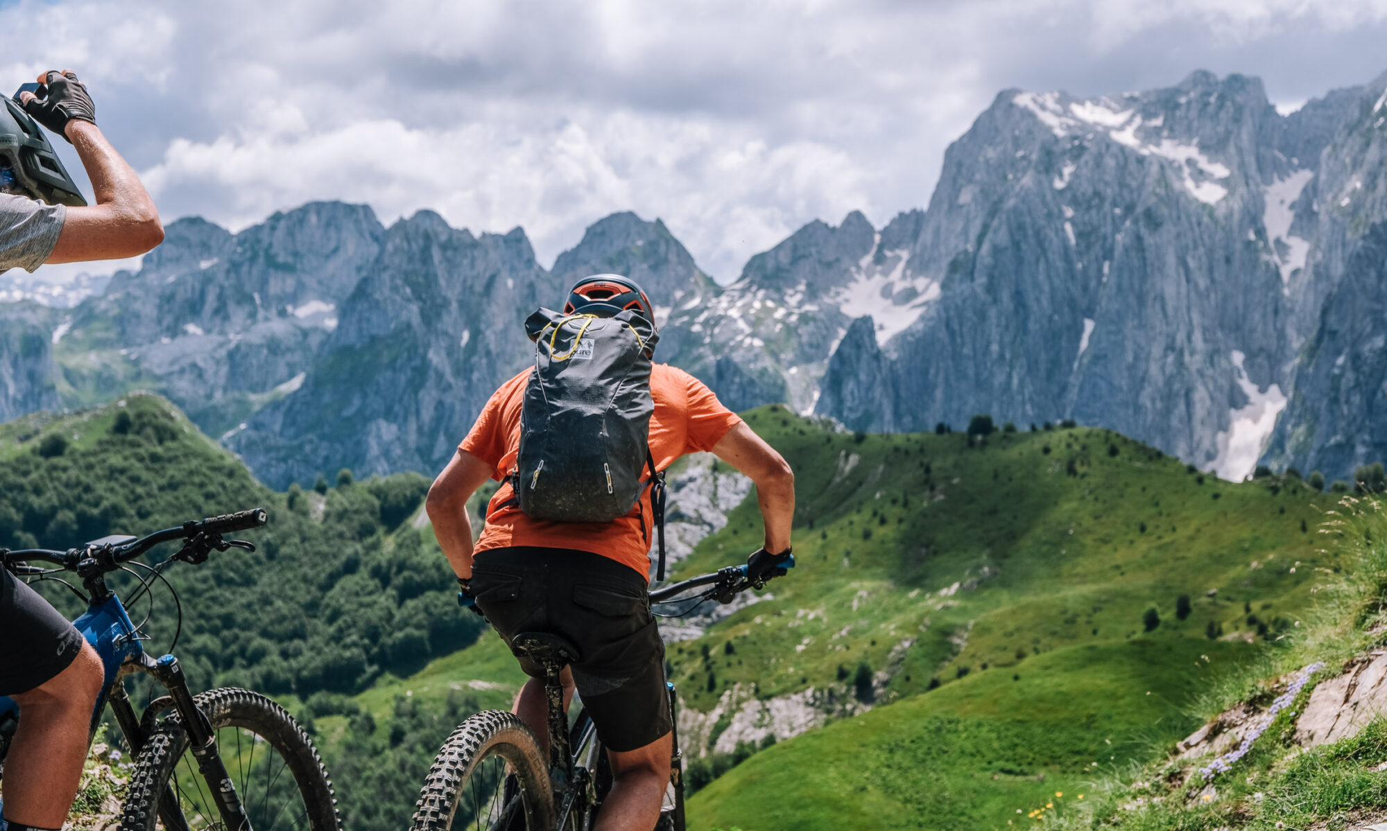
Six riding days between Kosovo, Montenegro and Albania. Every figure below is read from tracks recorded on the ground between 15 and 20 June 2026. Open a stage for its map, elevation profile and GPX download.
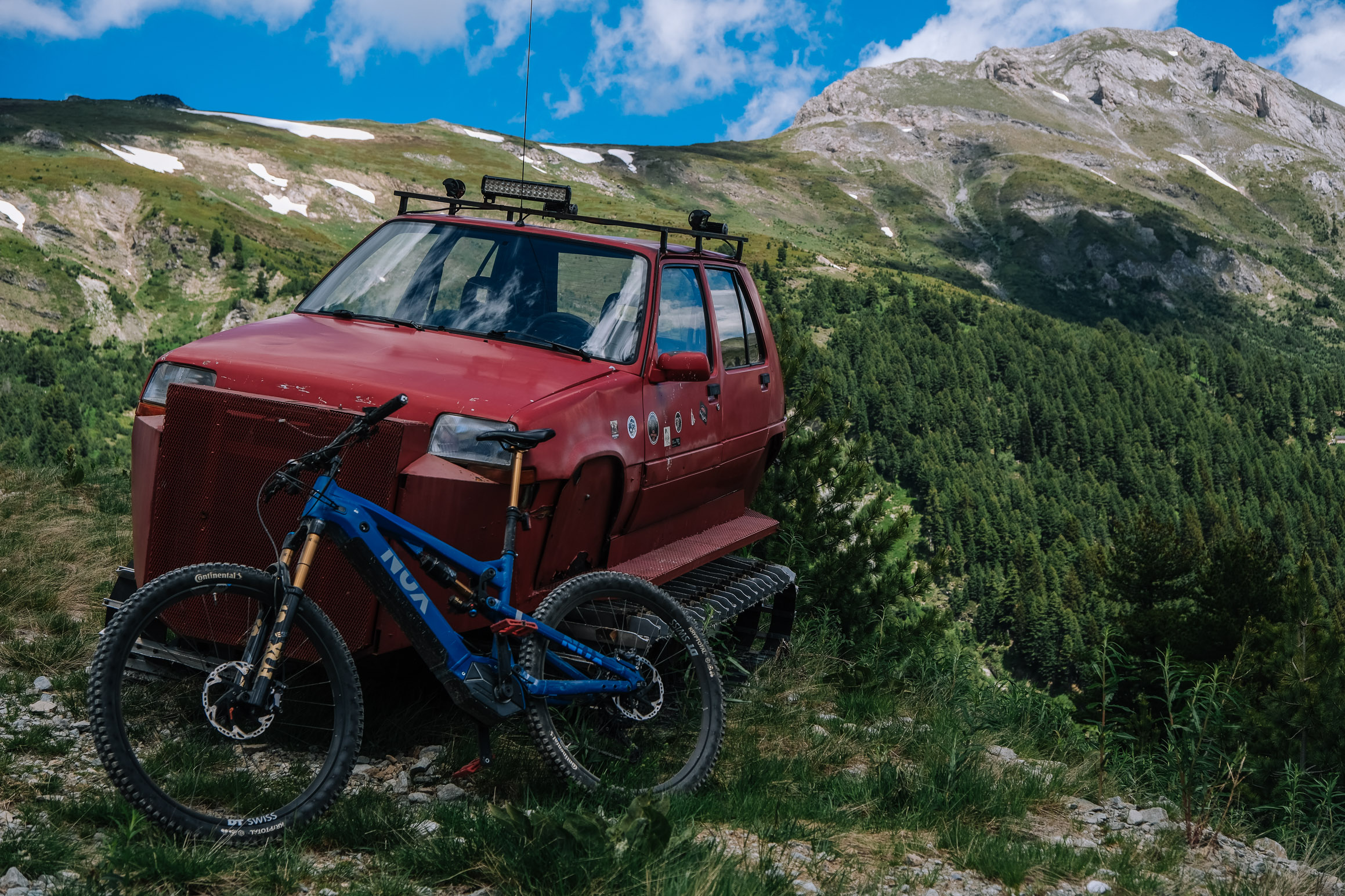
1 · Bjeshka e Belegut → Plav
44.7 km · +1,865 m · −2,285 m · high 2,194 m · 3 h 44 riding
Gravel through the high pines above Deçan, over Bjeshka e Belegut and across the border into Montenegro, then crests and meadows to Hrid Lake.
View route & GPX →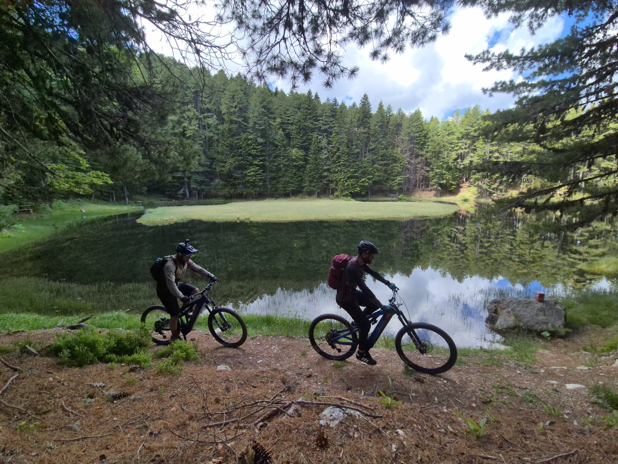
2 · Visitor Lake & Visitor Peak
39.9 km · +1,804 m · −1,820 m · high 2,196 m · 3 h 40 riding
A loop from Plav: forest gravel that keeps the sun off, then singletrack across open fields of flowers to the lake and the summit. You will see almost nobody.
View route & GPX →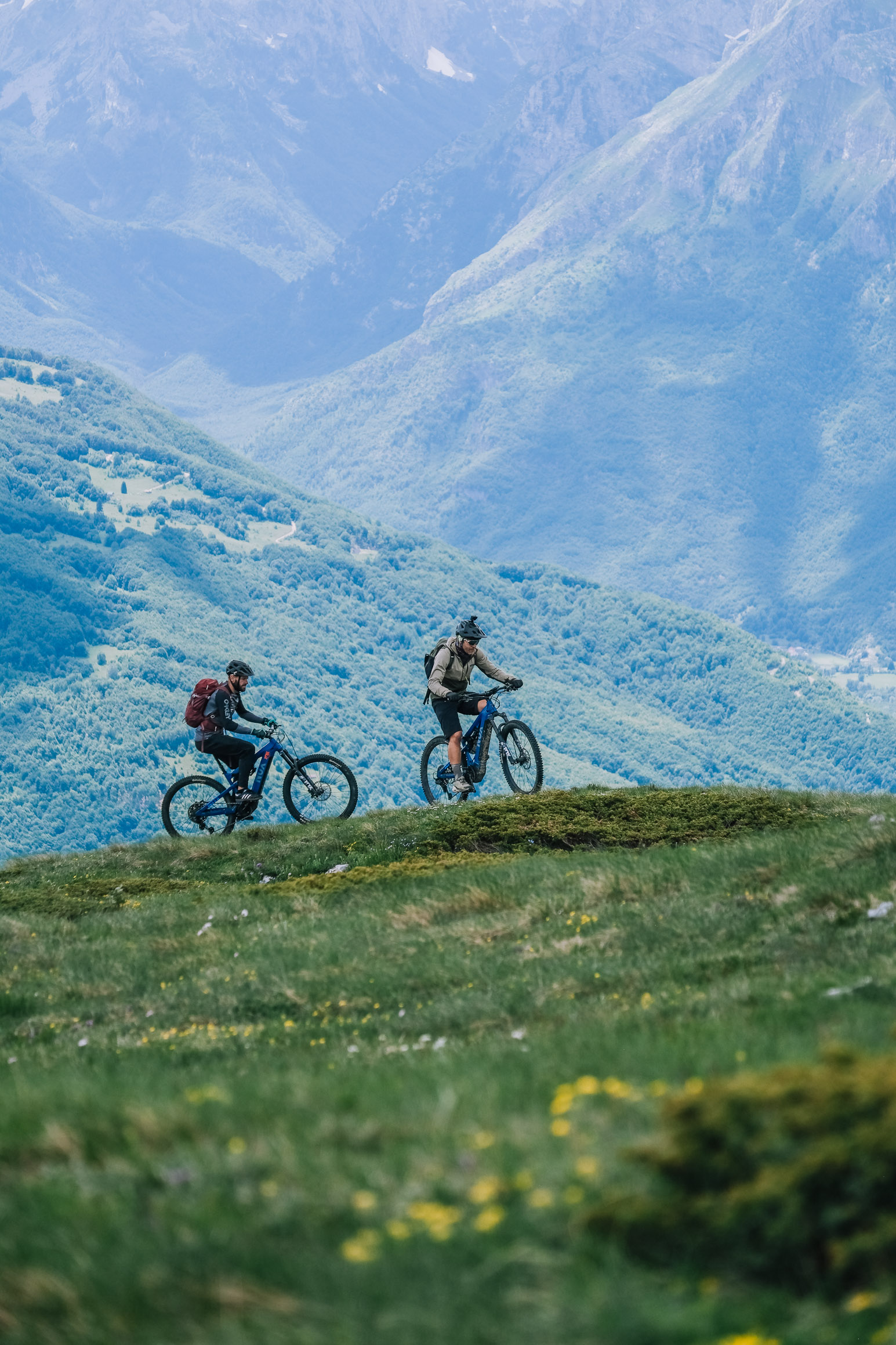
3 · Plav → Vusanje
30.9 km · +1,386 m · −1,345 m · high 2,005 m · 3 h 06 riding
Gravel winding up above Plav to the highest pasture village in the region, then across into Albania. Rocky singletrack along the ridge with Taljanka in view, and a fast descent.
View route & GPX →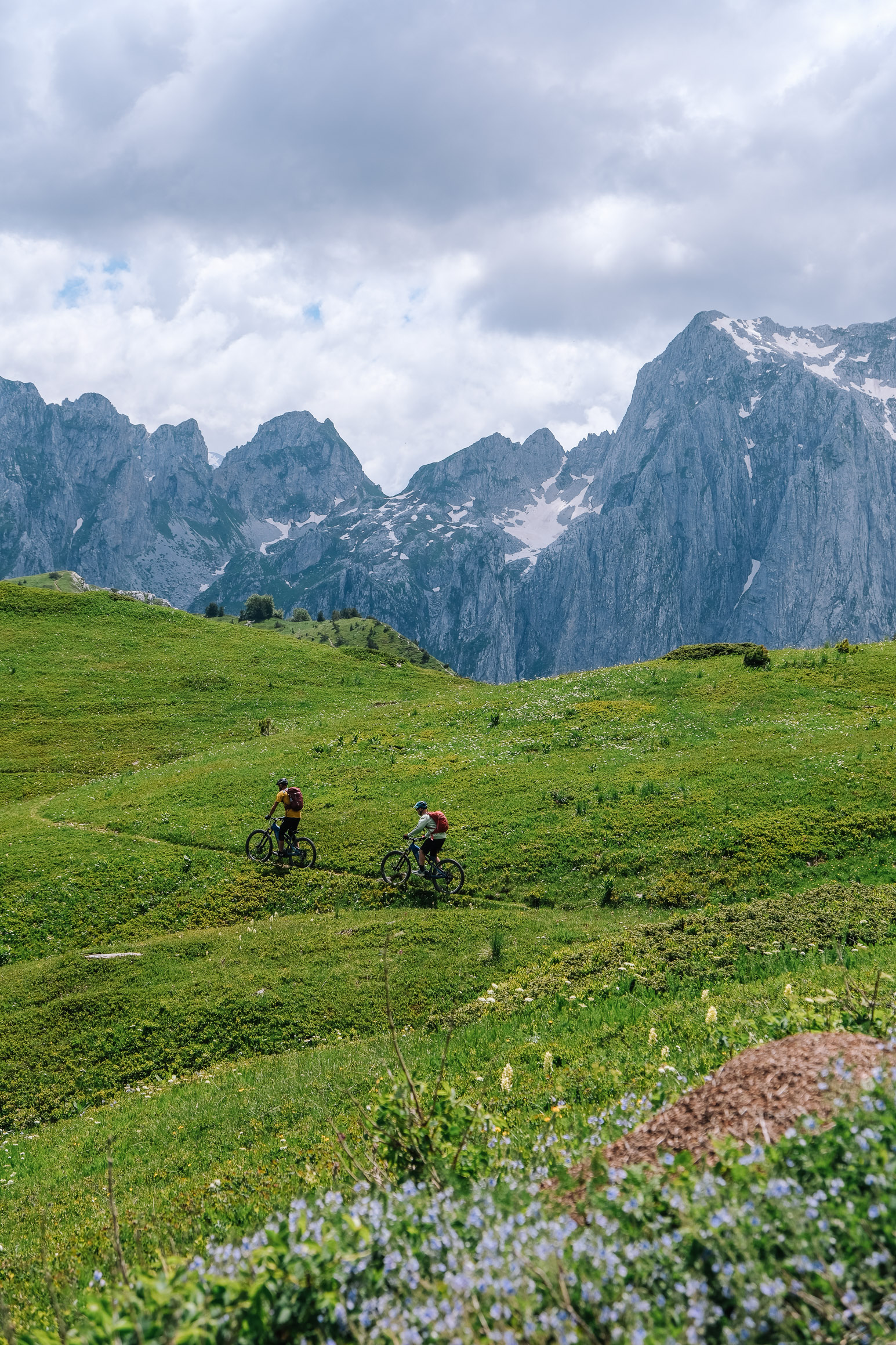
4 · Vusanje → Gerbaja → Vusanje
39.4 km · +1,482 m · −1,500 m · high 1,875 m · 3 h 09 riding
Asphalt to Gerbaja, then a military gravel road climbing to a Cold War border post where forest gives way to rock. Singletrack on to Taljanka Pass and Can Peak.
View route & GPX →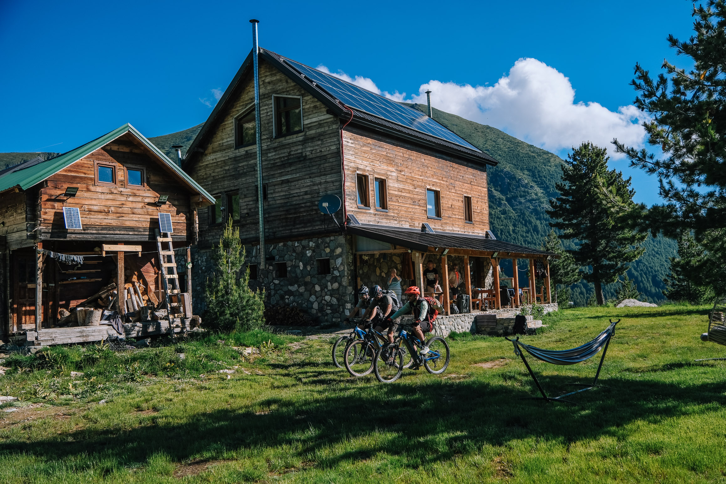
5 · Plav → Gacaferi
29.4 km · +1,675 m · −1,035 m · high 2,238 m · 3 h 08 riding
Almost the whole day on singletrack along an open mountain face, past the tripoint where three countries meet, looking down on Dobërdol. The highest point of the trip.
View route & GPX →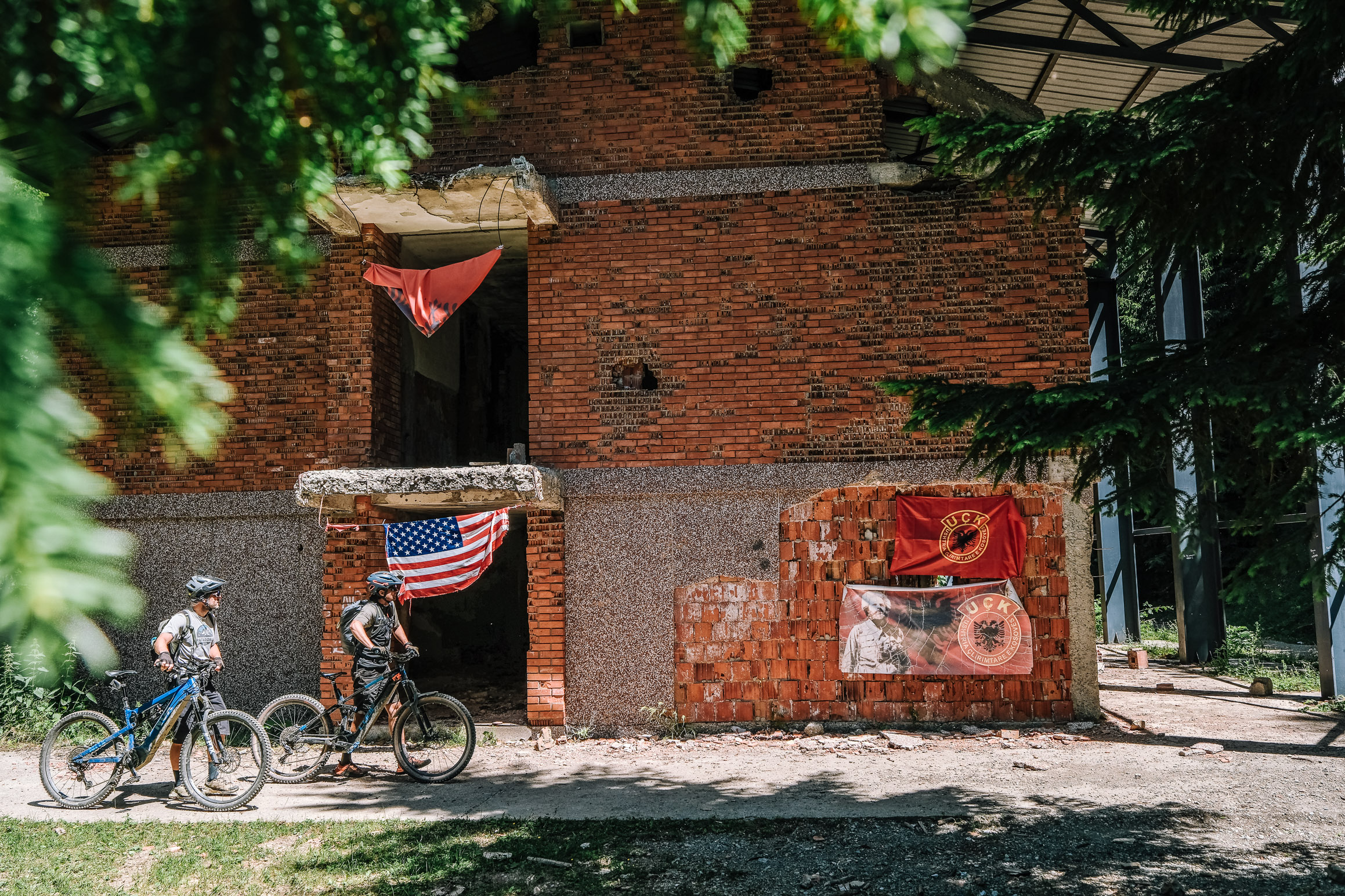
6 · Gacaferi → Koshare → Peja
42.2 km · +1,365 m · −2,735 m · high 2,186 m · 3 h 34 riding
Southwest along the Albanian border with Gjeravica standing out to the east, finishing at the former Koshare border post and its memorial. The biggest descent of the trip.
View route & GPX →Before you ride. The route crosses between Kosovo, Montenegro and Albania — a Peaks of the Balkans cross-border permit is mandatory and takes several weeks to obtain. Charging is possible in Plav, Vusanje and at Gacaferi, which is the only place in its area with the capacity. Riding time is around three hours a stage, but expect six to eight hours out. Season runs from June to early October. These tracks are a record of one crossing in June 2026, not a recommendation for any given day.