Stage 5 · Plav → Gaçaferri Guesthouse (Day 6)
29.8 km · +1,675 m · high point 2,238 m · 3 h 08 moving
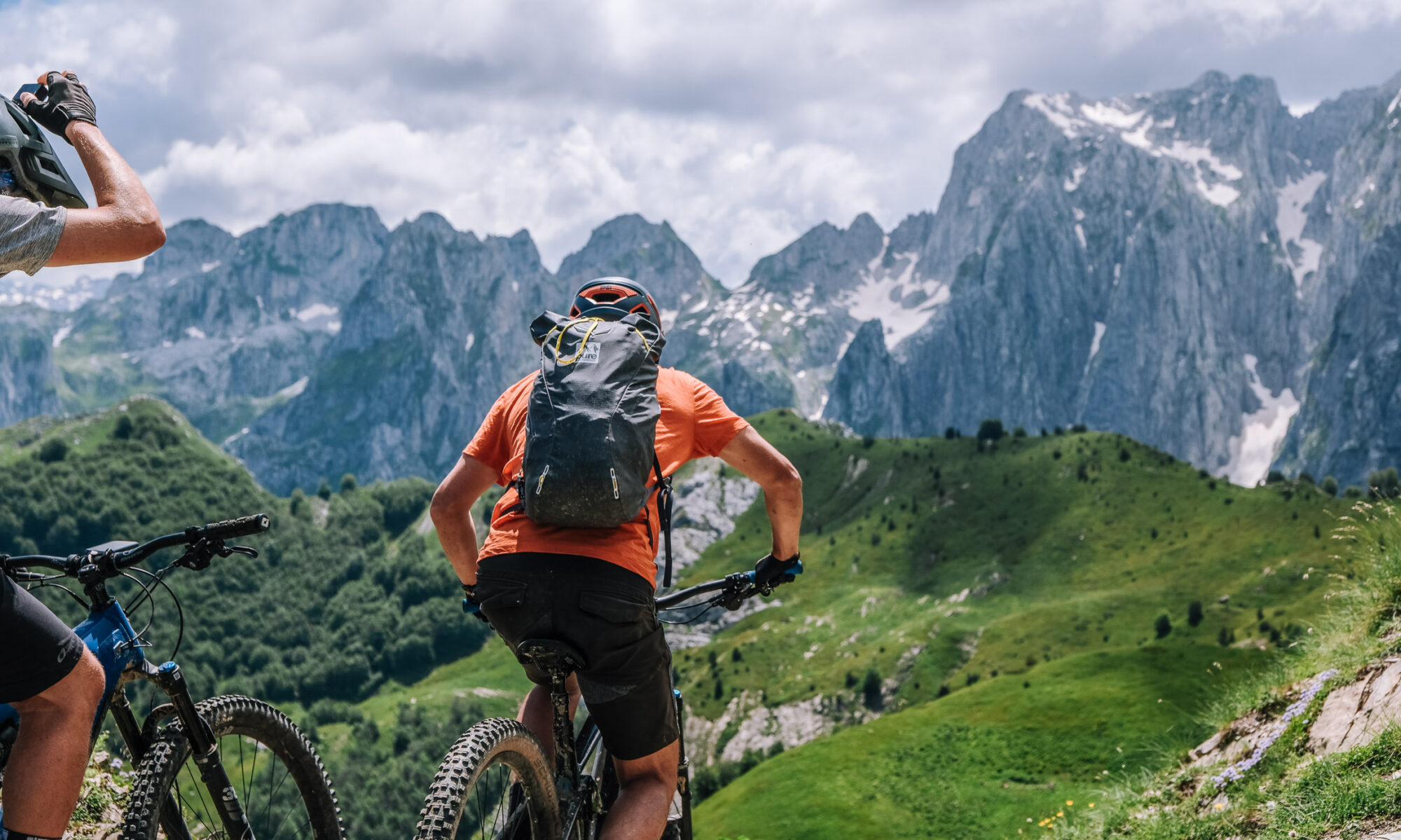
Short transfer from Plav to the Albanian border; riding starts there, on an old military 4×4 road. Climb out of the forest into open ground and pick up the singletrack running along the western face of the ridge that divides Kosovo from Montenegro, then Kosovo from Albania. Almost the whole day is singletrack on an exposed face, with the surrounding peaks laid out around you. The trail passes close to the tripoint where the three countries meet and looks down on Dobërdol, on the Peaks of the Balkans hiking trail. Finish at Gaçaferri Guesthouse.
Surface: military 4×4 track on the climb, then singletrack for most of the day. (Exact split from the track file.)
Border: crosses between Kosovo, Montenegro and Albania along the ridge — carry your Peaks of the Balkans permit and passport.
Charging: Gaçaferri Guesthouse is the only place in this area with enough power to charge the bikes. There is nothing between the start of the stage and the guesthouse — arrive with what you need to arrive with.
Water & food: no reliable resupply on the ridge. Fill up before the transfer.
Note: the shortest stage by distance and the highest point of the whole traverse. Nearly all of it is on an open mountain face with no tree cover, so a thunderstorm or low cloud has real consequences here — check the forecast the night before and start early. Most riders remember this day above all the others.
Overnight: Gaçaferri Guesthouse — family-run, known for its food and for well water cold enough to hurt.
Two placeholders to fill from the GPX: the surface split and the battery estimate in Wh. Say the word if you’d like the Albanian version of this stage too, or the other five in the same format.
Table view
Sampled every 200 m. The full point-by-point data is in the GPX download.
Table view
Aspect by elevation band
Restricted to terrain of 25° or more — the ground where aspect actually matters. This is the format avalanche bulletins use, so you can carry it straight into your own assessment.
These figures come from a 30 m elevation model, resampled to a 25 m analysis grid. A model at that scale smooths steep ground: a genuine 45° couloir can read as 35°, and short steps between grid cells disappear entirely. Treat every angle here as a floor, not a ceiling, and verify on the ground.
Contours and hillshading from OpenTopoMap. Colour along the line follows the same slope classes as the profile.
Elevations sampled from Copernicus DEM GLO-30 (AWS Open Data) (30 m), analysis grid 25 m, EPSG:32634. Track recorded June 5, 2026 — conditions on that day only. A planning aid, not a recommendation.