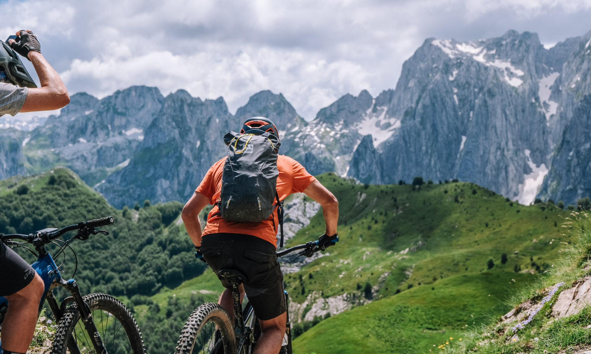
Stage 1 · Bjeshka e Belegut → Plav (Day 2)
45.5 km · +1,865 m · high point 2,194 m · 3 h 44 moving
The bikes go in the van for the hour’s drive from Peja to Bjeshka e Belegut, above Deçan; riding starts there. You climb a gravel trail through the high pines of the Deçan mountains and up onto Bjeshka e Belegut itself, past a small summer village that was pasture land and is now scattered with weekend houses. The route crosses into Montenegro and runs on across crests and meadows to Hrid Lake — swim stop, and the place where people stay longer than they meant to. Gravel descent to Plav.
Surface: gravel and forest track throughout, with meadow crossings on the crests. No hike-a-bike. (Exact split from the track file.)
Border: crosses from Kosovo into Montenegro on the high ground — permit and passport with you.
Charging: Guesthouse Hana in Plav has a bike-washing station and an e-bike charging point. Nothing between the drop-off and Plav, so start the day on a full battery.
Water & food: Hrid Lake is the natural break. Carry lunch — there is nothing to buy between the transfer and Plav.
Note: the longest stage of the trip and the second-biggest climb, which is exactly why it comes first — you ride it on fresh legs. Technically the most forgiving day of the traverse; the difficulty is distance and vertical, not terrain.
Overnight: Guesthouse Hana, Plav.
Table view
Sampled every 200 m. The full point-by-point data is in the GPX download.
Table view
Aspect by elevation band
Restricted to terrain of 25° or more — the ground where aspect actually matters. This is the format avalanche bulletins use, so you can carry it straight into your own assessment.
These figures come from a 30 m elevation model, resampled to a 25 m analysis grid. A model at that scale smooths steep ground: a genuine 45° couloir can read as 35°, and short steps between grid cells disappear entirely. Treat every angle here as a floor, not a ceiling, and verify on the ground.
Contours and hillshading from OpenTopoMap. Colour along the line follows the same slope classes as the profile.
Elevations sampled from Copernicus DEM GLO-30 (AWS Open Data) (30 m), analysis grid 25 m, EPSG:32634. This is a drawn line, not a recorded track: it carries no evidence about conditions on any particular day. A planning aid, not a recommendation.