Stage 2 · Plav → Visitor Lake & Visitor Peak → Plav (Day 3)
40.5 km · +1,804 m · high point 2,196 m · 3 h 40 moving
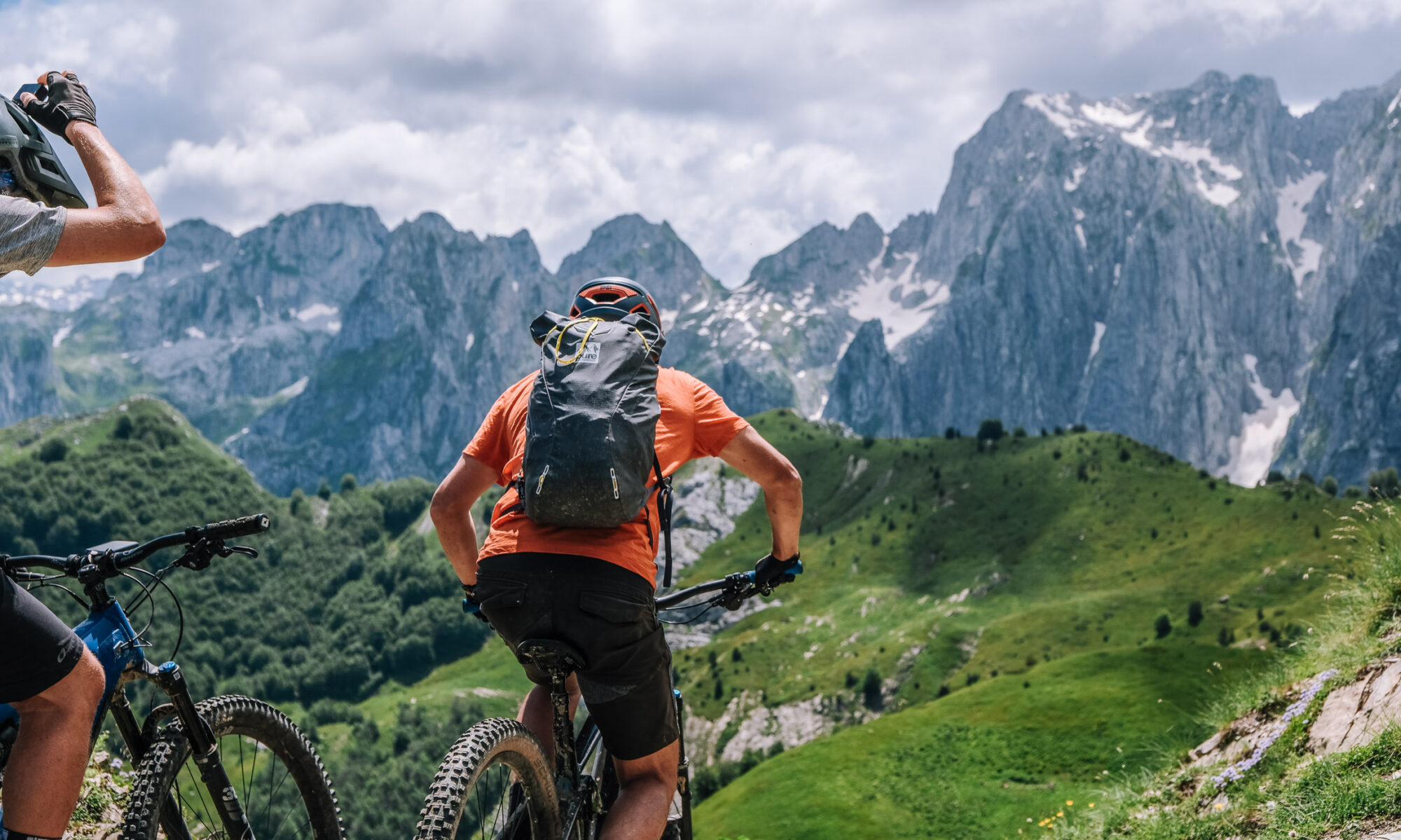
Out of Plav towards Visitor Peak and Visitor Lake. It starts as a gravel road through thick forest, which keeps the sun off you, then turns wilder — singletrack across open fields of flowers. From there you can ride or walk to the top of Visitor Peak. This is off the internationally known trails and you will see very few other people. Loop back down to Plav for a second night.
Surface: forest gravel on the climb, then open singletrack; the final push to the summit is ride-or-walk depending on your legs and the day. (Exact split from the track file.)
Border: none — the stage stays in Montenegro.
Charging: Guesthouse Hana, Plav, at both ends of the day. No transfer, no logistics — this is the easiest stage to plan.
Water & food: in August the fields are full of blueberries. Water is scarce once you leave the forest; carry what you need for the climb.
Note: cover your legs. Earlier in the season the vegetation grows across the trail in places and the path is thick with it. Second-biggest climb of the trip, but you sleep in the same bed as the night before, so nothing has to be carried — a good day to ride light.
Overnight: Guesthouse Hana, Plav.
That’s five of six stages done. The only one still outstanding is Stage 1, Peja → Plav — I wrote it earlier as the format sample, so say the word if you want it reissued in final form alongside the rest, plus the Peja warm-up ride at Horomoçat as a short intro block.
Table view
Sampled every 200 m. The full point-by-point data is in the GPX download.
Table view
Aspect by elevation band
Restricted to terrain of 25° or more — the ground where aspect actually matters. This is the format avalanche bulletins use, so you can carry it straight into your own assessment.
These figures come from a 30 m elevation model, resampled to a 25 m analysis grid. A model at that scale smooths steep ground: a genuine 45° couloir can read as 35°, and short steps between grid cells disappear entirely. Treat every angle here as a floor, not a ceiling, and verify on the ground.
Contours and hillshading from OpenTopoMap. Colour along the line follows the same slope classes as the profile.
Elevations sampled from Copernicus DEM GLO-30 (AWS Open Data) (30 m), analysis grid 25 m, EPSG:32634. This is a drawn line, not a recorded track: it carries no evidence about conditions on any particular day. A planning aid, not a recommendation.