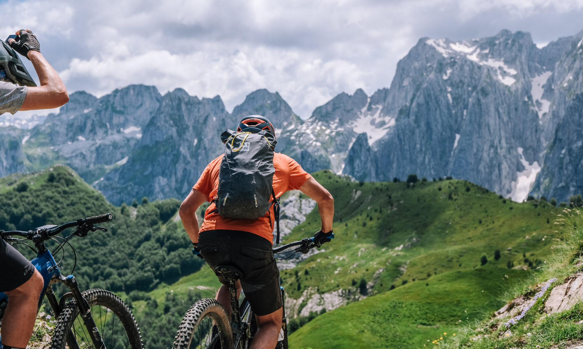
Stage 3 · Plav → Vusanje (Day 4)
31.3 km · +1,386 m · high point 2,005 m · 3 h 06 moving
A gravel road out of Plav that winds up through good scenery, the town and the mountains opening up behind you. The gravel runs all the way to the highest pasture village in the region, and then you cross into Albania. Along the ridge from there you can see Taljanka Peak — you will be on it tomorrow. The riding turns to singletrack through wild peaks with rocky sections that some riders will walk. The day finishes with a fast gravel descent through the villages into Vusanje.
Surface: gravel on the climb, then singletrack with rocky sections — expect to push or carry in places — and a fast gravel descent to finish. (Exact split from the track file.)
Border: crosses from Montenegro into Albania at the high pastures — permit and passport with you.
Charging: Guesthouse Vuçetaj in Vusanje at the end of the day. Nothing between Plav and the border.
Water & food: wild strawberries along the gravel in June and July — better than any energy gel, but not a water plan. Fill up in Plav; the pasture village is the last reliable water.
Note: the shortest of the middle stages and a good introduction to the rocky singletrack that dominates days 6 and 7. Ride the technical sections at your own pace — nobody is scored on what they walk.
Overnight: Guesthouse Vuçetaj, Vusanje — known for its meat feast, which arrives whether or not you asked for it.
Table view
Sampled every 200 m. The full point-by-point data is in the GPX download.
Table view
Aspect by elevation band
Restricted to terrain of 25° or more — the ground where aspect actually matters. This is the format avalanche bulletins use, so you can carry it straight into your own assessment.
These figures come from a 30 m elevation model, resampled to a 25 m analysis grid. A model at that scale smooths steep ground: a genuine 45° couloir can read as 35°, and short steps between grid cells disappear entirely. Treat every angle here as a floor, not a ceiling, and verify on the ground.
Contours and hillshading from OpenTopoMap. Colour along the line follows the same slope classes as the profile.
Elevations sampled from Copernicus DEM GLO-30 (AWS Open Data) (30 m), analysis grid 25 m, EPSG:32634. This is a drawn line, not a recorded track: it carries no evidence about conditions on any particular day. A planning aid, not a recommendation.