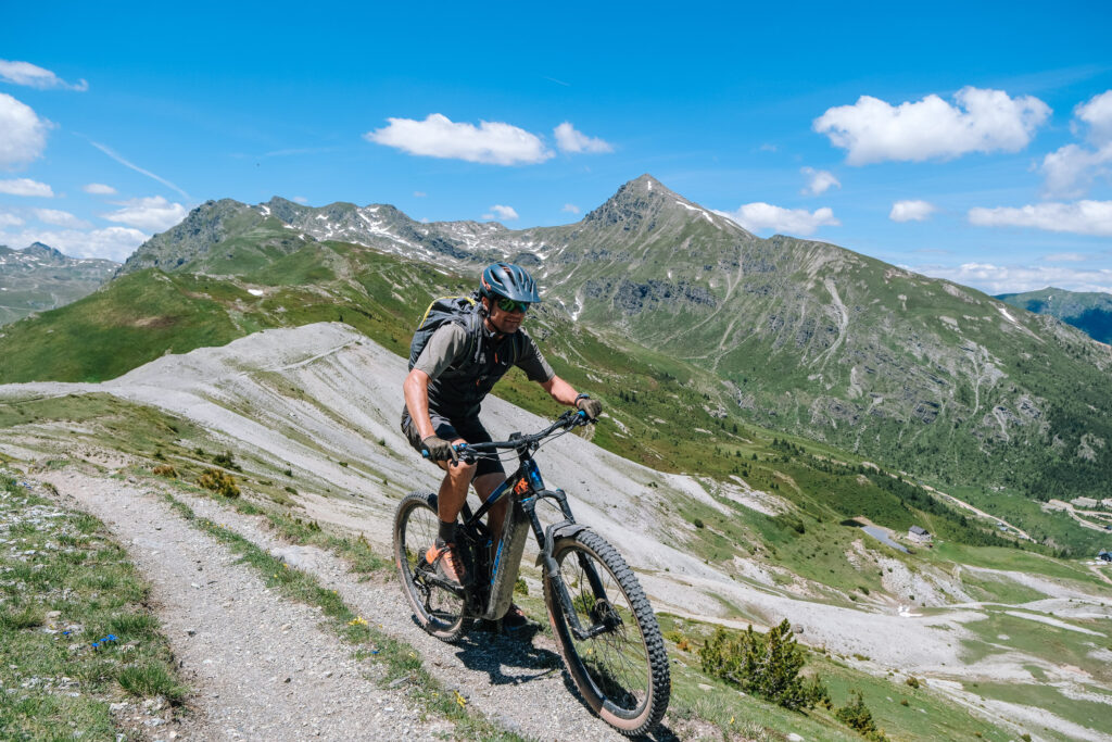
When you pedal up a tractor track, it isn’t only the sound of stones grinding under the tyres, a few of them spitting sideways — shhhhhh, crrk, tak. There is also a soft hummmm from the small electric motor. With that quiet voice and its clean lines, the e-bike is a good answer: it lets far more people enjoy these mountains while sparing them the damage and the noise that motorbikes bring.
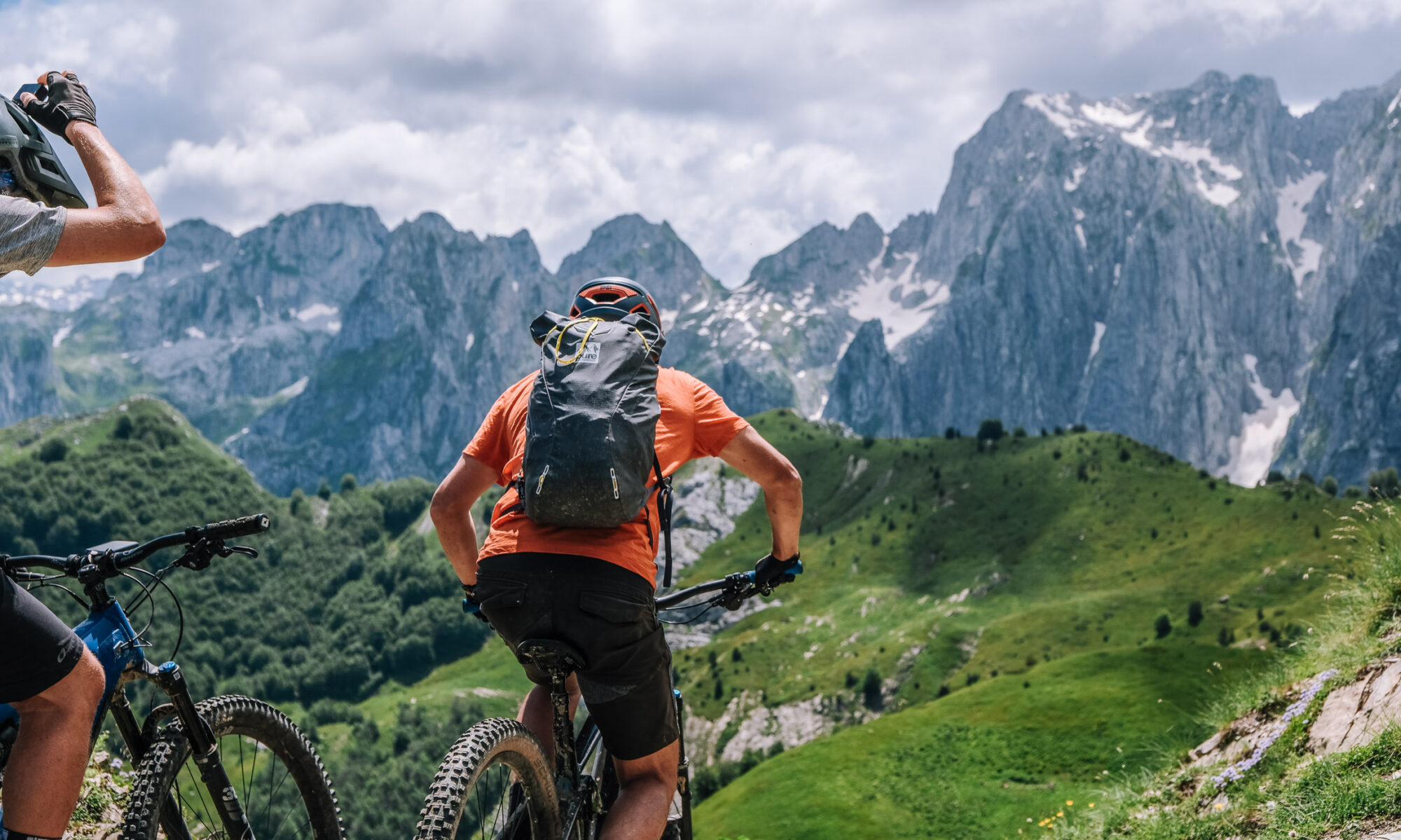
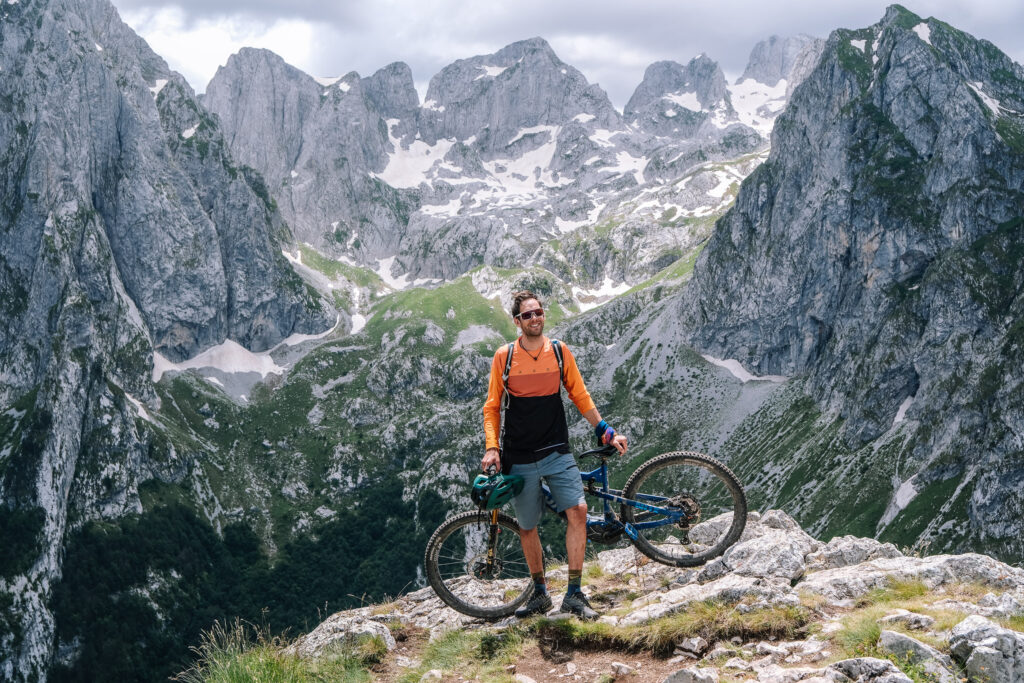
The Accursed Mountains — Bjeshkët e Nemuna — are made for this. They are steep, with elevation that changes fast, which puts them out of reach of an ordinary bicycle for most people, and they offer some of the most spectacular mountain scenery anywhere in the world.
Over a multi-day trip, the team at Balkan Natural Adventure, led by local guides and supported by international expertise, has begun exploring these routes properly. The work is part of a project funded by the Swedish Government, managed by Swisscontact and implemented by Balkan Natural Adventure, and it has produced the best solutions yet for this sport in the region.
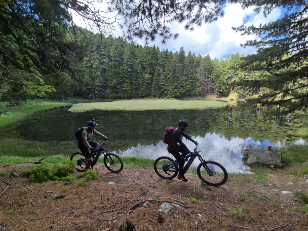
For enthusiasts, and for anyone with only a little experience, the best place to begin is the city of Peja and the trails on its doorstep. The ride towards Livadhi i Sakës and a visit to Horomoçat is short, but it gives you a picture of what the tracks are like and a small taste of what waits for you higher up. You pass through forest where the branches “stroke your arm” from time to time; you drop down long descents, slide on gravel, and get off and walk where the rocks make riding impossible. A potpourri of terrain in roughly an hour of riding.
Easy as that may sound, don’t be fooled into thinking you’re an expert if you don’t know where you’re going. E-biking in the Accursed Mountains demands both skill and endurance. The author of this article broke his leg when fatigue took the edge off his concentration. Mountain biking, electric or not, is more technical than skiing.
The route
This is not the Peaks of the Balkans trail, though it crosses the same mountains, deliberately avoiding the walking paths. In total it runs around 230 kilometres with close to 9,600 metres of climbing over six days of riding, between Kosovo, Montenegro and Albania — on forgotten military roads, 4×4 tracks and, most of all, singletrack across open mountain faces. Motor assistance is what puts an itinerary like this within reach of an average cyclist.
45.5 km, +1,865 m, high point 2,194 m. The journey begins on a gravel road through the tall pines above Deçan, crosses Bjeshka e Belegut into Montenegro and continues along crests and meadows to Hrid Lake — the kind of place where you stop longer than you meant to.
40.5 km, +1,804 m, high point 2,196 m. The next day heads for Visitor Peak. It starts as gravel through dense forest that keeps the sun off you, then turns wilder: singletrack across open fields of flowers, up to the lake and the summit. Here you are off the internationally known trails and you will see almost no one. In August the fields are full of blueberries; earlier in the season the vegetation grows across the path, so cover your legs — this stretch is thick with it.
31.3 km, +1,386 m, high point 2,005 m. A gravel road winds up above Plav, the town and the mountains opening out behind you, and in June and July wild strawberries line the way — sweeter and healthier than any energy gel. The gravel carries you to the highest shepherds’ village in the region and then into Albania. From the ridge you can see Taljanka Peak, tomorrow’s summit. The day closes with rocky singletrack, a fast descent through villages, and a very good meat feast at Guesthouse Vuçetaj in Vuthaj.
39.9 km, +1,482 m, high point 1,875 m. Asphalt from Vuthaj to Gusinje and on to Gërbaja, then a gravel road built by the army, climbing to a border post dating from the Cold War; forest gives way to rock. From the post it is singletrack with Taljanka in view the whole way, up to Taljanka Pass and Can Peak. You return by the same trail or, for strong riders, by the hiking path — but that descent is for absolute professionals only, because it is genuinely dangerous.
29.8 km, +1,675 m, high point 2,238 m. The return to Kosovo starts with a short transfer to the Albanian border and then an old military road. You come out of the forest into open ground and pick up singletrack running along the western face of the mountain that divides Kosovo from Montenegro, and then Kosovo from Albania — almost the whole day on an exposed face, with the surrounding peaks spread out around you like a map. The trail passes the tripoint where three countries meet and looks down on Dobërdol. It ends at Guesthouse Gaçaferri, a family-run house known for its food and its hospitality, and the only place in this area with enough electricity to charge the bikes.
42.8 km, +1,365 m, high point 2,186 m. The final day runs southwest from Gacaferri, parallel to the Albanian border: a wide track at first, then singletrack through mixed forest and open mountain. The land falls away towards the Dukagjini Plain while Gjeravica, the highest peak in Kosovo, rises to the east. The riding ends at the former border post of Koshare.
Koshare
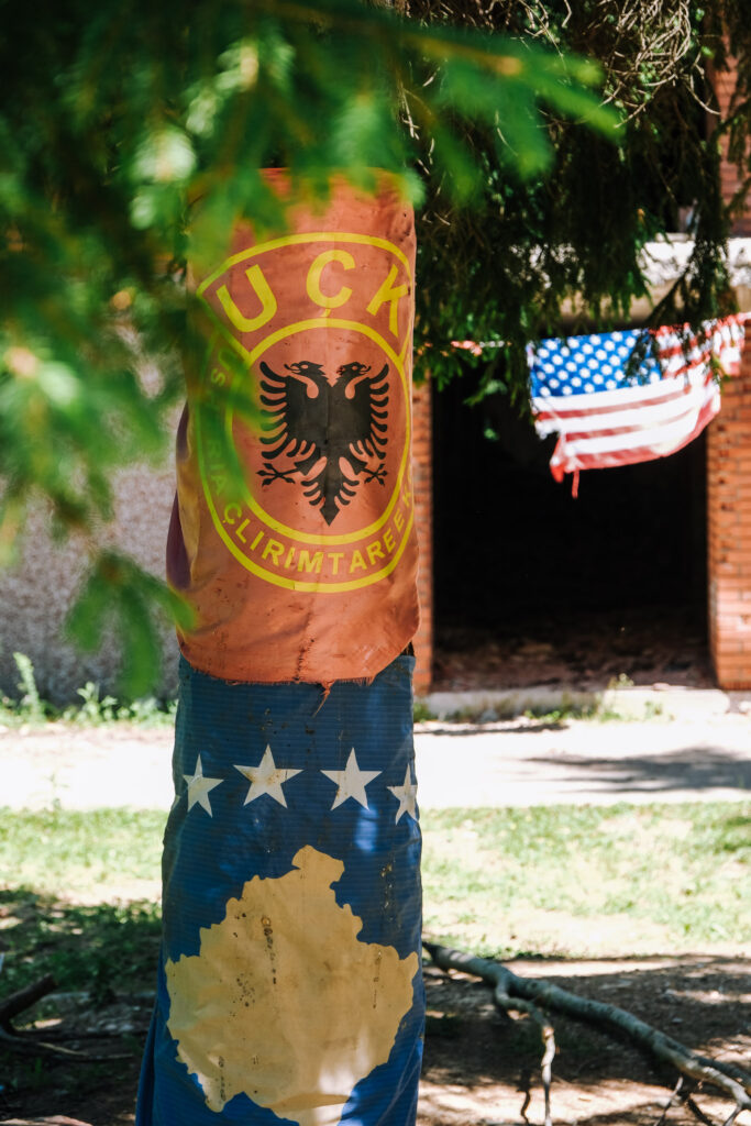
For visitors arriving from elsewhere, the name needs a word of explanation. Koshare was a border post held by the Serbian army until it was taken in 1999 by the Kosovo Liberation Army — the KLA, the Kosovo Albanian force that fought in the war of 1998–99 — in one of the longest and costliest battles of that war. It was later hit by NATO in what has been described as a friendly-fire incident. The bombed barracks are still there, along with a memorial to those who died.
It is a quiet place to finish a week of riding, and an unusual one. These mountains are peaceful now — open to anyone who wants to ride, walk or simply look at them — and that peace has a history attached to this exact ground. Standing at the memorial before the long descent back to Peja, you understand that the freedom to enjoy this landscape was not free, and that the people who live below these peaks have not forgotten what it cost.